5 Covered Bridges You May Have Missed
The Covered Bridges of Northfield VT
I drove many times up Route 12 in Vermont. I even stopped in at my dad’s alma mater, Norwich University. I took him there once, so he could look over the parade grounds that he walked as a young man and the buildings he stayed in after he was released from active duty in World War II. I never knew then, that within a few miles were 4 covered bridges and a little bit further (on 12A) was a 5th.
It’s not like these are new, they were there almost as long as the university ( or about 196 years +/-) so why do we not find them daily? First, most covered bridges are located on “old” main roads that the locals don’t use as much for the most part and wider and straighter roads have circumvented them. “Progress”?
The National Park Service says that Vermont has the greatest number of covered bridges and is now dedicated to protecting the remaining covered bridges and they can no longer be torn down without permission from the Vermont Board of Historic Sites.
Lisa and I were traveling on Route 12 through Northfield (passing Norwich) and she opened the Vermont Gazetteer and she says, “There’s a covered bridge nearby”. (I love my wife) 🙂 That brought us to the first covered bridge that day, the Slaughterhouse-covered bridge.
Slaughterhouse Covered Bridge
One of the first things I noticed about the Slaughterhouse (besides its name) is the fact that it’s red. I came to find out that all of the Northfield 5 (as I’ve come to call them) are all red covered bridges. 🙂 Read more about the slaughterhouse-covered bridge here.
The Slaughterhouse Bridge was built so people could get across Cox Brook to the… (what else) the local slaughterhouse on Slaughterhouse Road. People were not creative when naming their covered bridges. (The Creamery Bridge was, yup, next to the local creamery. 🙂
Good thing there wasn’t one next to a liquid waste plant… Ewww… 🙂
This led to finding the other four Northfield covered bridges. (there is also a privately owned #6 but I don’t like photographing covered bridges on private land since they don’t like people trespassing)
The Northfield Falls and the Lower Cox covered bridges
These two bridges are about 300′ apart and unique in that these are the only two I’ve seen so far that if you stand inside one and look through, you see the other.
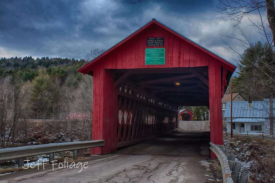
The Northfield Falls Covered Bridge runs over a tributary of the Dog River. The one behind it is the Lower Cox, also known as the Lower Falls Covered Bridge, which also takes traffic across the Cox Brook.
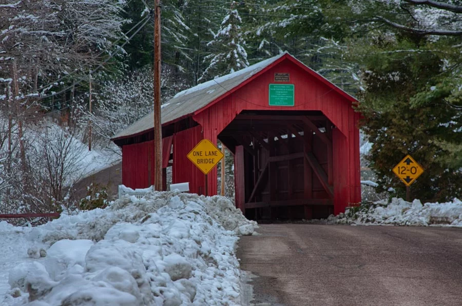
You should take care, approaching the Lower Cox Bridge, as it’s a narrow one, and only one vehicle at a time can pass through. Waiting for the oncoming cars is a polite practice.
Upper Cox Covered Bridge
If you take the road through the Lower Cox Brook Bridge and continue up the hill, you will come to the Upper Cox Brook Bridge. This is the third covered bridge on this short stretch of Cox Brook Road.
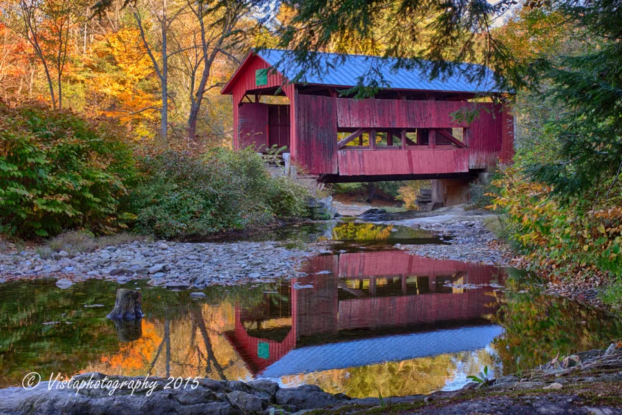
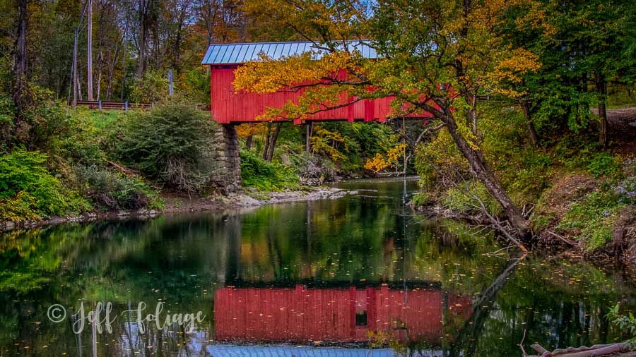
After Superstorm Sandy, the sides of the Upper Cox Bridge were nearly taken off by the flow of the water. This covered bridge has panels that open up to let the water flow through. There are several angles to photograph this one.
It was pointed out to me that by driving through it and parking on the other side will allow you to get a nice water view WITH reflection!
You should have boots for this because sneakers may get waterlogged. It all depends on how recent the rains have been. Anyway, just pass through it, pull over, and cross the road…
Here’s a riddle. Why did the Leaf Peeper cross the road?… To photograph a wonderful autumn reflection! At least that is why I did…
The Stony Brook Covered Bridge
The fifth covered bridge of the Northfield 5 is the Mosely Covered Bridge also known as the Stony Brook Covered Bridge.
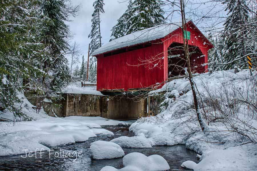
This is another of those bridges where folks must have changed their minds over the years. This is also the Moseley Covered Bridge. Getting here all depends on where you are coming from. Assuming you just left the Northfield Falls Covered Bridge (up above) then you would come out on Route 12 and head past Norwich University. Then you take the right turn onto Route 12A and then take the immediate left branch at the fork.
If you see a fork lying in the road, hold onto it for me, I lost it… Ok, I lost it years ago but that is another story…
When approaching a covered bridge do not travel too fast! or you might damage your car (if the bridge is narrow) or more importantly you might damage the bridge. View this video I made on how to slow down just prior to entering a covered bridge.
Here is a map of all five of them.
Jeff Foliage Folger
Autumn is a state of mind more than a time of year – Jeff Foliage
- Visit my Fine Art America Gallery
- Visit my Amazon store to pick up New England-related materials
- Follow me on Bluesky
- My Facebook foliage page
- Threads.net/@Jeff_Foliage
- Follow our new Fall Foliage FB Group!
- You can visit Lisa’s Artist Facebook Page by clicking here

Thank you for the information Jeff. We will plan to travel on RT 12 in Vermont. Any new updates on the foliage season for Sept when we are up there.
Did you read last weeks article? That was my August update… talks about El Nino and what MAY happen… Click the link and you’ll be up to date… at least as far as I can tell so far!
I just read your blog on covered bridges. I looked on the map and WOW, our planned route takes us so close that I just HAVE to divert and go see them. Let me see if I have this clear. They are all on 12 except for one which is on 12A? Cutting south at Montpelier, are the first four located before the12A fork? This October 4 trip is just sounding better and better. Thank you for all of your valuable information.
Cheryl
Marietta, GA
Hi Cheryl,, well if you are heading south out of Montpelier on Route 12, you’ll head 8.3 miles until you hit Cox Brook rd. (the first 3 covered bridges. Then come back out on Route 12, heading south and you will travel a short distance (like your next right…) Is the Slaughterhouse covered bridge. (#4) and the south past the college to where 12A turns off. (just a mile or two) then another 1-2 miles until Stony brook road and about a mile to the bridge. (5.1 miles from Slaughterhouse to Stony Brook (or Moseley covered bridge) Two names, same bridge)
Great information! I have not seen these or all of these bridges. thanks!
Thank you so much for those detailed directions. I’m totally confident that we’ll be able to find all of them. Can’t wait!!!!