A Drive Through Franconia Notch
What’s a Notch?
You find them all over Northern New England and therein lies the clue… Northern New England has most of the taller mountains and between all these higher peaks are low passes or notches.
I have written about a lot of things to do when you come to New England, covered bridges, quaint churches, town commons, and anything else that screams New England. Today we can add to the list, Notch Roads. Some of the notch roads connect one town to another on the other side of the mountain. Other times it allows you to drive up to the top but to go any further, only a goat will make it. Mad Tom’s Notch in the Green Mountains of Vermont comes to mind.
The definition: Mountain passes make use of a gap or saddle, (also sometimes a notch, the low point in a ridge). A topographic saddle is analogous to the mathematical concept of a saddle surface, with a saddle point marking the highest point between two valleys and the lowest point along a ridge.
Franconia Notch
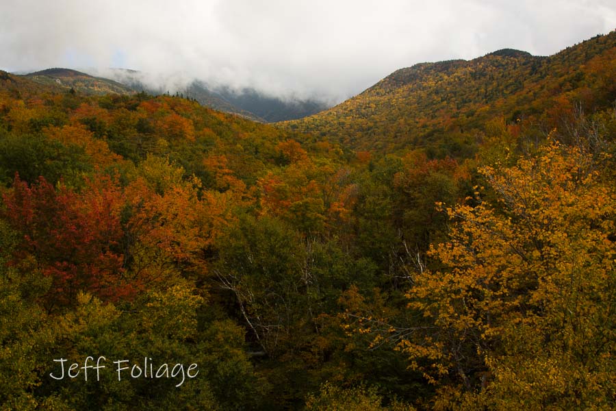
Franconia Notch is an example of a topographical saddle, and it’s fairly wide since they built a highway through it. Franconia Notch is the low point between Mount Kinsman to the west and Mount Flume and Mount Liberty to the East. Interstate 93 can be taken from Boston up to Northern New Hampshire and just shy of the Canadian border. Also, Route 3 winds its way through a notch and this is a slower way to travel to Franconia Notch as well.
After you get to Littleton NH which is at the junction of 93 and Route 112, I tend to lose most of you because many of you tend to jump off and onto Route 112 better known as the Kancamagus Highway (or just “The Kanc” to those in the know). But many of you push on, skipping “The Kanc” and explore further North.
Trail heaven: For the adventurous and seasoned hike, the next miles are chock full of trails to hike and explore. And while I talk a good game, I don’t usually hit the trails unless they are ridiculously easy or promise my camera a really great view.
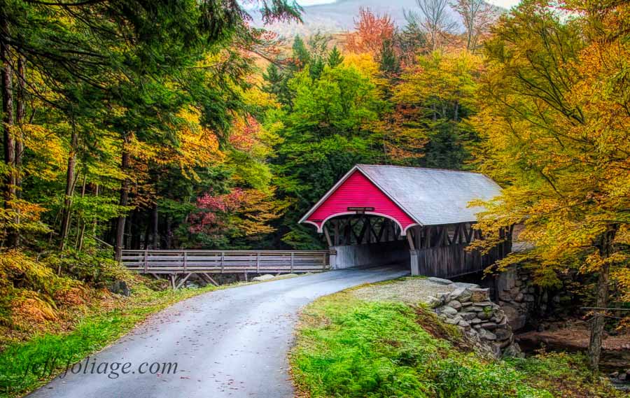
Flume Gorge- trails and, of course, a covered bridge (or two)
The Flume Gorge Covered Bridge is found by going through the Visitor Center and follow their maps and in a short time you are there. But just after dawn is when great light hits the mountains around the covered bridge, and is when I want to get there which leads to a problem. The Visitor Center doesn’t open till 9AM. What do you do, miss the great light?
You can download this Franconia Notch trail map to lead you to the covered bridge. I and fellow photographer Benjamin Williamson took the Pemi Trail from the north end of the parking lot and followed it till there was a trail back to the southeast and another north and there it is. Sound confusing? Not trail savvy? Then wait for the Visitor Center to open. The route I took worked only because Ben was an experienced hiker and had a good idea of where he was going.
Just past this is a covered pathway called the Sentinel Covered Bridge. It’s a walkway over a tree that fell back in the early 1900’s and they decked it and put a covered roof over it, did I mention, its a really big tree!. You can walk direct to it and photograph it from the end but for a better shot, take the stairs and trail to the right to a viewing platform for the prettiest view of the Sentinel Covered Bridge.
Further North into the Notch
When you get back on Route 3 to Route 93 you will go a little further and come to Liberty Springs Trailhead, the Basin Cascade Trailhead, The Basin parking lot has lots of room for a bunch of cars.
The next pull out is Lafayette Place Campground (44.142260, -71.681850) which leads you to the Old Bridle Path and the Falling Waters Trail. On the western side of 93 you will find the Appalachian Trail, so if you are interested in hiking a portion of the Appalachian Trail, here is a starting point.
Profile Lake and the Old Man of the Mountain
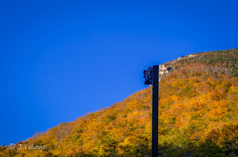
Next on your trip north will be Profile Lake and then a turn out that takes you up and over the highway to the Old Man of the Mountain Historic Site. Yes, I know the Old Man has been gone since 2003, but they had a little metal frame there that you look through to get an idea of what he looked like.

Back on the highway, you travel just a little further. You’ll come to Echo Lake at the foot of Cannon Mountain, and just after that, make a right on the off-ramp. When you come to the stop, go right and you’ll come to the bridge overlook under which the Lafayette Brook runs. I’ve never made a good picture there but it does have a scenic view. What I usually do is go back out and follow Route 18 up to Sugar Hill. There are many back roads to try out, an ironworks, and of course Polly’s Pancake Parlor.

This ends the Franconia Notch drive, and where you go from here is up to you. I usually take this Route almost every year, and it’s always a lot of fun. If I can stop at Polly’s, then I will consider my day off to a good start. Then I’m back on the road to see what else Mother Nature has left for us…
Jeff and Lisa “Foliage” Folger You can purchase Jeff’s images by visiting
Fine Art America for prints, home decor, and more
Or try his New Online Gallery that has **free shipping** in the US and Canada
You can follow Lisa’s artwork on her blog Pewter and Periwinkles.
Join Jeff on his social media by clicking on any of the following.
- My Facebook foliage page
- Follow our new Fall Foliage FB Group!
- You can visit Lisa’s Artist Facebook Page by clicking here


As always, it’s the details and nuggets of knowledge you provide that keep me reading your posts and looking forward to more photos. I’m either dreaming of following in your footsteps or living vicariously through yours along the way. Great stuff as always, Jeff!
You outlined the start of my typical fall foliage trip (except I usually skip that covered bridge.) Then i usually head on towards (and sometimes past) Mt. Washington.
Another location that you led me to a few years back and I now visit it every year.The colour there last year was some of the best I came across (October 6th).Pinkham Notch was also good and you’ve done a few articles on it which I refer to when planning trips .I don’t need to look much further than you. 🙂