Scenic Notches of Vermont
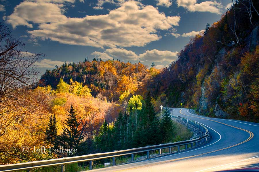
Many Notch Roads in Vermont are not just for 4 wheel drive jeeps. Most notch roads began as simply a dirt track from one side of a range of hills/mountain tops to the other without having to go all the way around.
So people created a more direct route up and over and if not easier, it would be faster. Today these scenic trails that were once only hiked or traveled with mule/horse are usually crossed by car.
In researching the “Scenic Notches of Vermont” I found that there is apparently ONLY one “Notch” in Vermont. Everybody knows and writes about Smuggler’s Notch and Google reinforces this mistaken belief.
You see I’ve found that Notches are also called Gaps and the list of Gaps in the Green Mountain State is a long one. But before you go and print yourself a list of Gaps to go drive-through, you should make sure they are driveable. Some are only hiking trails but below I have listed a few for you to take and I bet a few will be familiar.
Some routes like 108, Route 17, and Route 125 are easy to find on any map. These Gaps or Notches can easily be driven in any passenger car. Two of the Three I just mention can even take semis (18-wheelers). I’ll repeat it again as I ALWAYS do, Route 108 is Smuggler’s Notch/Gap and you CAN NOT take large/long vehicles through there. (Nuff said)
How to Explore the Notch or Gap Roads
As I stated, Google thinks there is only ONE Notch in ALL of Vermont. 🙂 So Googling for scenic Notch roads in Vermont, will show basically a bunch of byways (Not Notches) but will list just the one in Vermont, Smuggler’s Notch. This does NOT mean there is only one Notch to explore but instead, it refers to its popularity. Vermont’s marketing folks have done their job and everything around Stowe is the main result in search engines. So instead of searching for “Notch Roads”, search for Gap roads.
I believe this term, Gap, is a more technical term for the low areas that pass between mountain peaks on topographical (topo) maps. I found a website that lists the “Gaps” all across the country, click here to check the Topo Map website out. First, I won’t start teaching you to read topographical maps, so you are on your own. I do suggest go and purchase the Gazetteer for Vermont. If you have listened to me before and already purchased, great! These books are topographical maps but they also show you the roads and special features.
What follows are several of the Gap/Notch Roads that I have been on. This is NOT a complete list because I’ve been on many and I may write about those on another date.. This list will give you some easy-to-travel Notch/Gap roads to add to your itineraries.
Scenic Gap/Notch Roads in Vermont
I have already written about several of these Gap/Notch roads. So for several, I will give a synopsis of the route and then a link to the article/s that I have written about.
Smuggler’s Notch Road or Gap
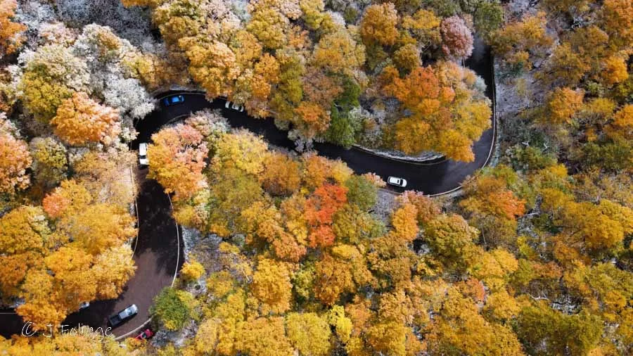
Smuggler’s Notch or Gap Road and it doesn’t really matter what you call this one. Everybody knows what you are talking about. There are two great things about Stowe Vermont. It sits on Route 100 and it’s right next to Mount Mansfield and Smuggler’s Notch. If you pass through Stowe and leave on Route 108 to the NW you will be on a direct line for Smuggler’s Notch. Here are two articles on the Gap known as Smuggler’s Notch. Vermont’s twistiest road and tips for exploring Smuggler’s Notch.
Mad Tom’s Notch (not a through notch)
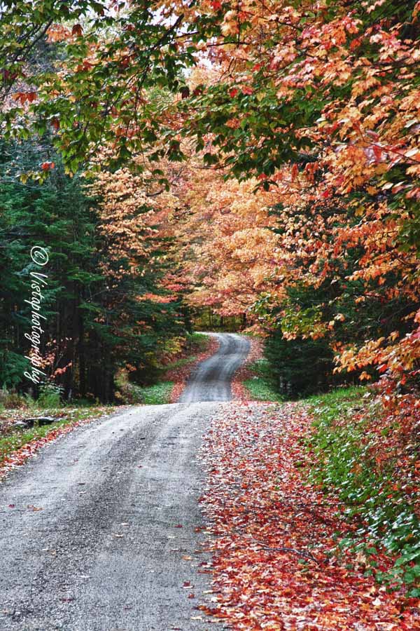
First off, based on my research, you can only go so far over this notch. It is a very interesting drive but more on that below)
I was researching in a Vermont Gazetteer some years back for a trip to Danby and Route 7 in Vermont. Well in looking over the map I found a road named Mad Tom’s Notch Which brought up all sorts of Questions Who was Tom? Why was he mad? Well to find this one take Route 30 out of Manchester center and then either catch Route 11 when they split or stay on 30.
Now where Route 30 and 11 separate, you will take Route 11 to Peru VT. you will pass Bromley ski resort and in Peru look for Hapgood Pond rd. It turns into North rd and Mad Ton Notch Road is on the left. Now I only took it till it got rocky and intersected the Long trail and the Appalachian Trail.
I was in a sedan but even in a 4wd, I don’t think I would trust the map beyond this point. So we turned around and headed back to Danby. Route 11 is a Gap road in and of itself and will bring you out onto the eastern side of the Green Mountains.
Middlebury Gap
The next Gap road is Route 125 which takes you from Middlebury in the west, over the green Mountains, to Hancock in the East on Route 100. I’ve taken this a few times over the years and you may have seen my shots from the Middlebury College Snowbowl and my images of the Robert Frost Summer Cabin at the Homer Farm. Click here for the topographical map for Middlebury Gap (Notch).
This was a fun drive but there are not a lot of places to pull over. So you might have to remember where you saw a view to photograph and then park and walk back to it.
Appalachian Gap Road (Route 17)
This route will take you from Vergennes Vermont on the west side of the Green Mountains over to Waitsfield on Route 100 on the eastern side. You can read more about Route 17 here in Vermont’s twisty Route 17. Click here for the topographical map of the Appalachian Gap (Notch).
This road may be named Appalachian Gap but it’s really Vermont’s Long Trail that crosses this gap. As I state in the linked article above, this is a very twisty road but without the boulders next to the road so it doesn’t have the level of difficulty on par with Smuggler’s Notch. This one you can take “a little” faster and enjoy the curves.
You may want to explore these and more of the Gaps in Vermont (or New Hampshire and Maine) and you can check out Topozone maps for Vermont and click here for the Topozone maps for New Hampshire here. If you are interested in any state just click the word state in their menu at the top of their page.
Hazen’s Notch, Route 58
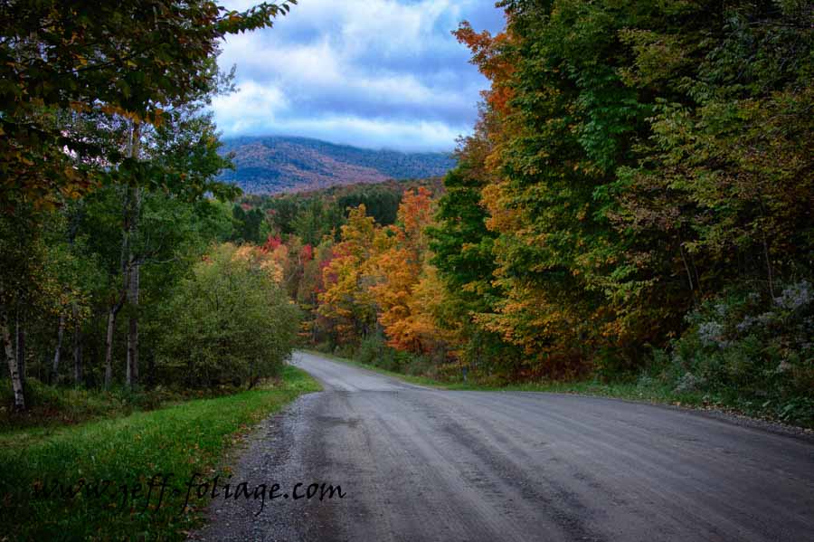
Up near Montgomery Vermont, Routes, 118, 242, and 58 meet in Montgomery. Another of the scenic Notches of Vermont will be found by taking Route 58 down to Lowell Vermont. As you leave the sprawling metropolis of Montgomery you will pass a few houses and soon the paved road will turn to dirt. The climb up into the hills and you will get a couple of scenic views along the road looking forward or back the way you came.
As always, there are many things to catch your attention in the Gap/Notch. Above you see an address marker that I saw and I had to stop. This was not in the person’s yard but right at the road edge so always make sure you do not enter someone’s property just to get a picture! 🙂
So Lisa and I want you to have a wonderful foliage trip and the New England fall foliage group on Facebook is getting large with lots of pictures being posted that will help you gauge when the best time to visit is. Stop in to look at everyone’s wonderful fall photos that they are sharing!
Jeff Foliage Folger
Autumn is a state of mind more than a time of year – Jeff Foliage
- Visit my Fine Art America Gallery
- Visit my Amazon store to pick up New England-related materials
- Follow me on Bluesky
- My Facebook foliage page
- Threads.net/@Jeff_Foliage
- Follow our new Fall Foliage FB Group!
- You can visit Lisa’s Artist Facebook Page by clicking here


Comments
Scenic Notches of Vermont — No Comments
HTML tags allowed in your comment: <a href="" title=""> <abbr title=""> <acronym title=""> <b> <blockquote cite=""> <cite> <code> <del datetime=""> <em> <i> <q cite=""> <s> <strike> <strong>