A Drive North of Stowe with Seven, or More, Covered Bridges
Everyone takes Route 108, through to Smuggler’s Notch, but where can you go from there? Let’s explore Route 109 north.
Point B & C: Grist Mill & Cambridge Junction Covered Bridges
First, when coming out of Smuggler’s Notch, and into Jeffersonville, we can visit Brewster River Gorge and the Grist Mill Covered Bridge. (Point B on the map below) It’s sometimes listed as the Brewster Covered Bridge. It is on Canyon River Road right next to the old Grist Mill. There is a very nice picnic area and a small cascade creating a relaxing ambiance.

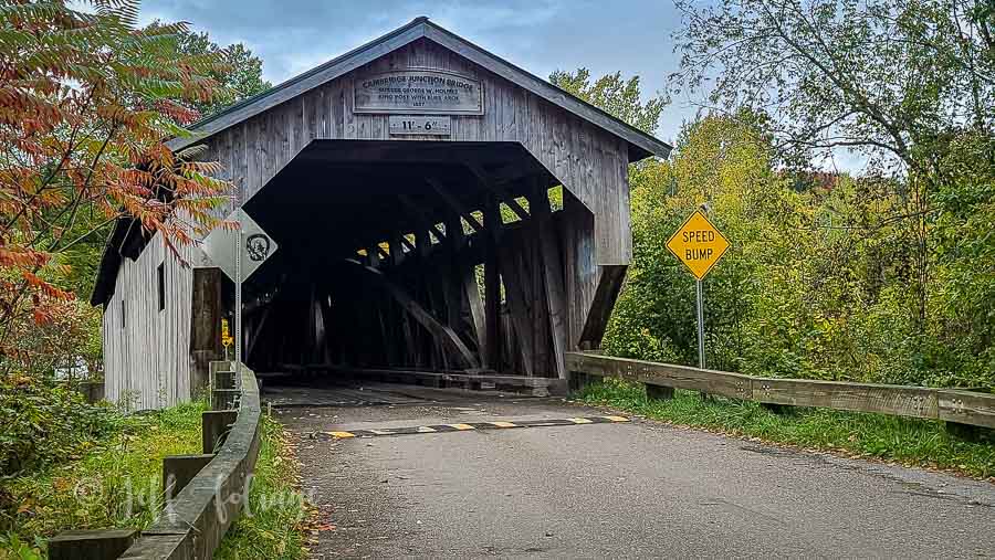
Now, we will take Route 15 east to Cambridge Junction, and you’ll find the Cambridge Junction Covered Bridge, listed as the Poland Bridge in the DeLorme Gazetteer. (Point C on the map below) It can be accessed off of Route 15 on Jct Road TH 23, From the access point off of Route 15, there is a rail trail and historical information at the old train depot. When you take 109, you will cross a modern bridge and be able to see the covered bridge on your right. There is off-road parking and a small trail to the river to get a side view of the bridge. You can drive right through the bridge to get to either side.
Point D: Village Covered Bridge, Waterville Vermont
On this trip, we continued on Route 109 to Waterville, searching for more covered bridges that we had not visited before. We find this is an excellent way to find interesting back roads to explore. The Village Covered Bridge is just off Route 109 on Church Street next to, guess what? The church. There is an area for a few cars to park after you cross the bridge.
Once across the bridge, there is a nice red farmhouse. The very nice couple who lived there were selling maple syrup and handing out maps with the location of all the covered bridges in Vermont on them. There were also syrup samples. See, you just never know what you’re going to find!
Point E: Codding Hollow Road
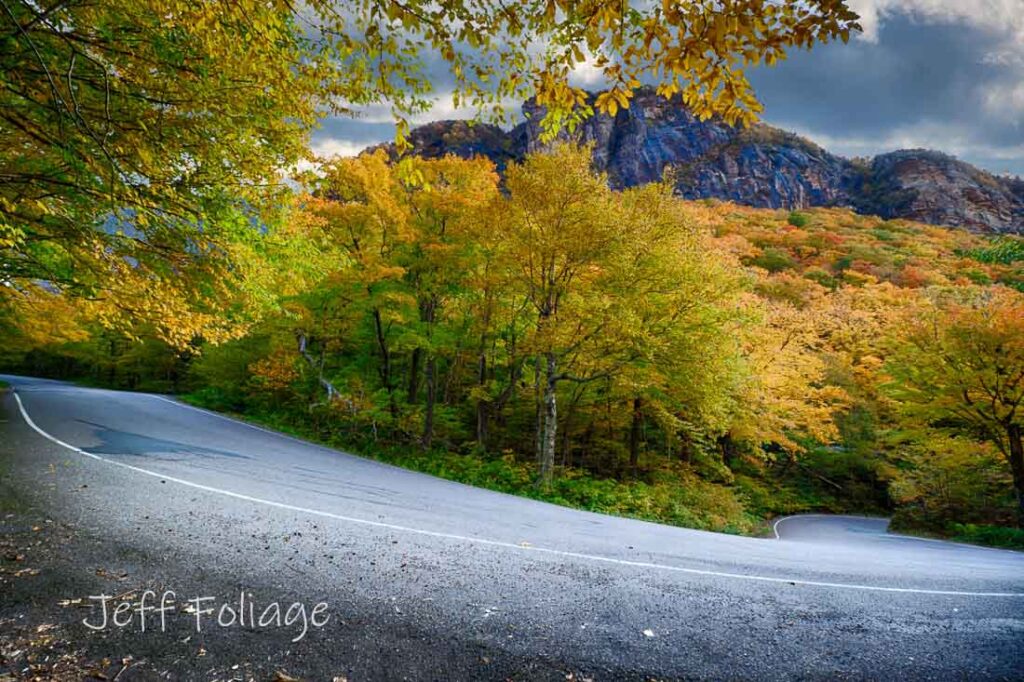
We drove back up to 109, and just after that is a right-hand turn, Beal’s Hill Road. This road has wonderful views, but not a lot of places to pull over, and there were very large commercial trucks using that road. It also gets very narrow at one point, but don’t worry. It’s only for a short way. We came to the intersection with Codding Hollow Road and took a right up to the end of the road. The foliage on the day we went was perfect on the hills around us, and our heads were swiveling trying to take it all in.

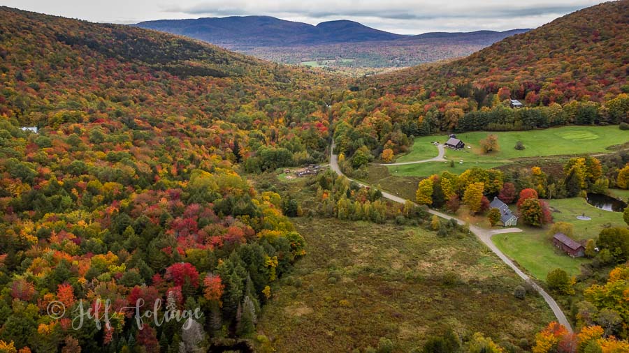
At the end of Codding Hollow was a trailhead for the Long Trail, so if you enjoy hiking, the trail will take you up and around Laraway Mountain. We don’t hike much, but we did find the start of the trail quite pretty with the Codding Brook babbling alongside the road.
Point F & G: Jayne’s and Montgomery Covered Bridges
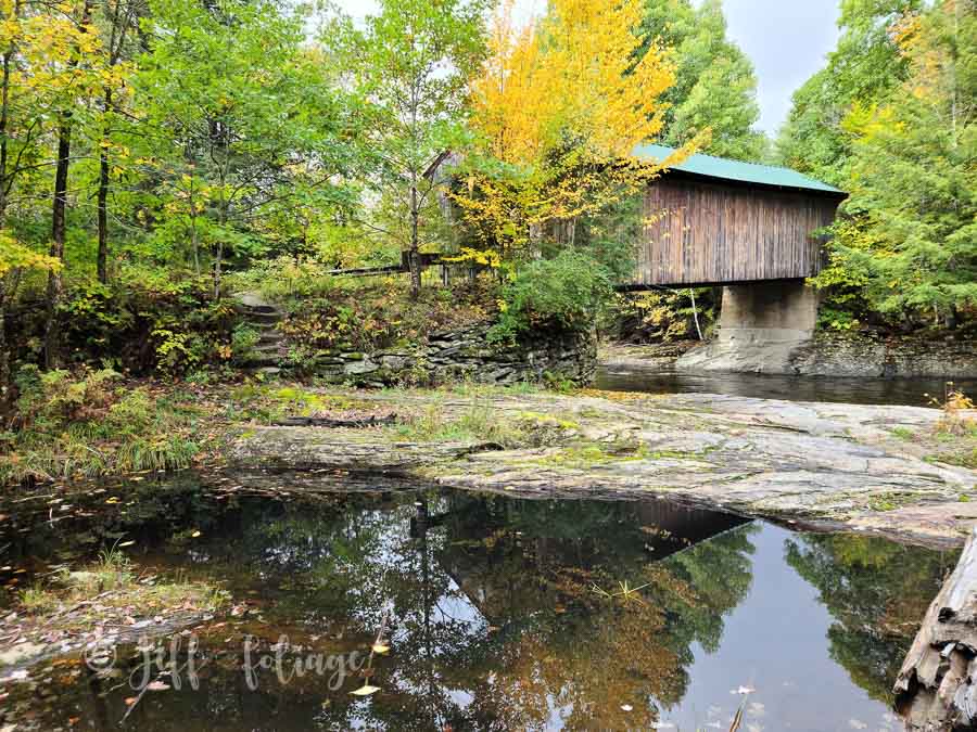
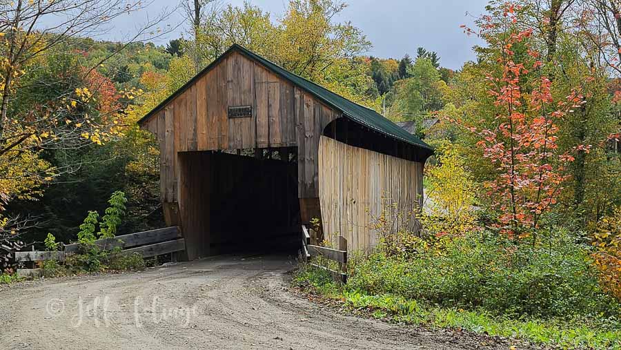
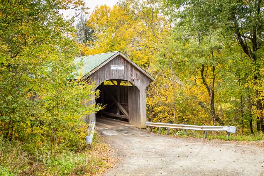
We then went back on Codding Hollow Road toward Route 109 and visited Jayne’s Covered Bridge (Point F on the map) which is at the junction of these two roads. Since we missed a bridge by taking Beal’s Hill Road, we went south on 109 and found the Montgomery Bridge, (Point G on the map) and then backtracked the way we came. If you are only interested in the covered bridges, you could skip Beal’s Hill and Codding Hollow Roads and stay on Route 109 to visit these two.
Point H: Mill and Morgan Covered Bridges
We wish we could have explored some of the other side roads off Route 109, but on this day, we continued our travels north and we found the Lumber Mill Bridge, also known as the Lumber Mill Covered Bridge, on Back Road (it’s a back road and that’s the name of the road),
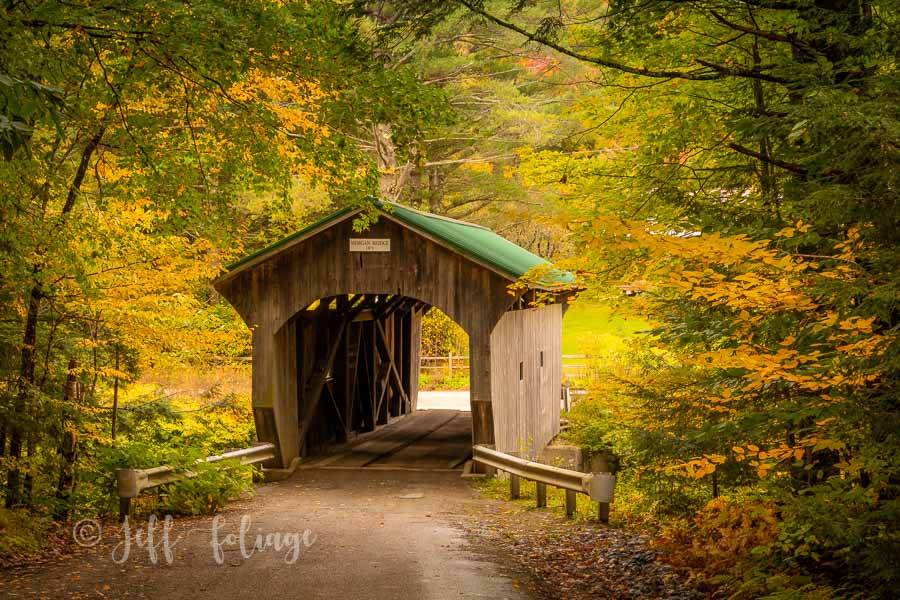
We drove through the bridge, turned right so we could find the Morgan Covered Bridge just a short way down, and then turned right again back to Route 109 and continued north.
So, how many bridges is that in this short drive? Seven? And look at all the great scenery we have viewed while doing it.
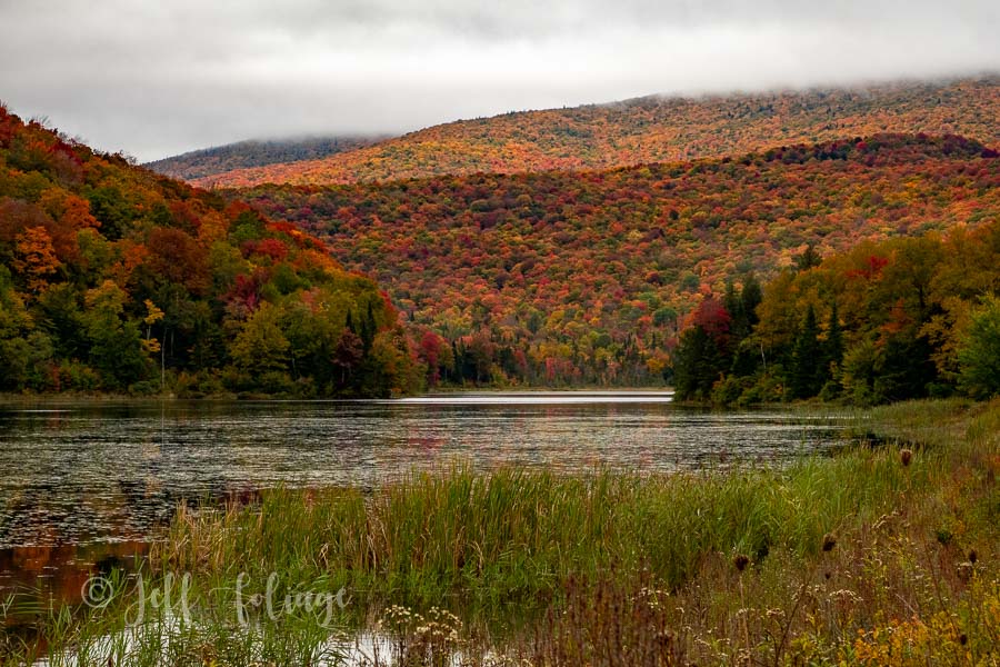
We drove through Belvidere Center and got to Belvidere Corners. From here, you can take a right on 118 south and pass Belvidere Pond (shown as Long Pond in the DeLorme Gazetteer)
Point I: Belvidere Pond
Then continue on to Eden, and take Route 100 south back to Stowe. If you take 100c, you can catch a couple more covered bridges in Johnson, the Scribner, and the Power.
Another option would be to take a left on 118 going north and find more covered bridges exploring in Montgomery. You can read about the covered bridges there in this article. If you do that, you will have an even dozen covered bridges under your belt. (or 14, if you go for the ones in Johnson too).
(Here is a map of this route including Route 100 back to Stowe for a round trip)
Jeff Foliage Folger
Autumn is a state of mind more than a time of year – Jeff Foliage
- Visit my Fine Art America Gallery
- Visit my Amazon store to pick up New England-related materials
- Follow me on Bluesky
- My Facebook foliage page
- Threads.net/@Jeff_Foliage
- Follow our new Fall Foliage FB Group!
- You can visit Lisa’s Artist Facebook Page by clicking here


Your posts have been keeping us company throughout our trip to see Vermont and New Hampshire. Your pictures have inspired us to get lost driving to find inspiring views! So much fun!!
Well See, that was our exact intention…
We’re glad you are enjoying them…
Your posts have been keeping us company throughout our trip to see Vermont and New Hampshire. Your pictures have inspired us to get lost driving to find inspiring views! So much fun!!
Well See, that was our exact intention…
We’re glad you are enjoying them…