Greenbanks Hollow Vermont, Not Forgotten?

We might wonder today how we could forget a covered bridge. We don’t really, they are in books and on maps. (pick yours up here) and people like me help keep them alive by telling the stories that need to be told.
Danville Vermont Mills
Around southern Danville, there were several mills, Harvey’s Hollow, Morse’s Mills, and Greenbank’s Hollow. I think I may have talked about the term “hollow” before but in case you missed that article, we’re going to talk about why these “hollows” were popular for mill sites. The term “Hollow” doesn’t mean empty but may be closer to a depression in the surrounding hills. The official definition is:
1. An elongated lowland between ranges of mountains, hills, or other uplands, often having a river or stream running along the bottom. 2. An extensive area of land drained or irrigated by a river system.
definition of Hollow (geography) by The Free Dictionary
These “hollows” generally had an endless water supply and that is what powered the mills. Free energy to turn saw blades, grinding-stones, or even operate early looms to make cloth for clothing.
In 1849 Benjamin Greenbank bought a small woolen mill on this spot and over the next 30 years he had enlarged it to a five-story mill. By 1870 it had become the largest textile mill in New England and the focus point of the surrounding hamlet, which had become Greenbank’s Hollow.
This is not going to be the complete story about Greenbank’s Hollow or the covered bridge. In fact, I’m only going to give you the basics to pique your interest, as I want you to get out, find this covered bridge, and read all the different signs around the bridge.


Locating the Greenbanks Hollow Covered Bridge

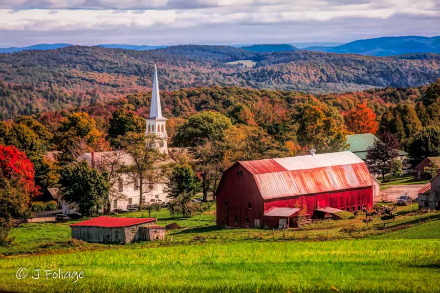
I was in Peacham Vermont and had finished capturing the church in the early morning sun and had gotten very damp feet from traipsing through tall grass in search of the “Peacham” View, which Peacham is known for. Read about the “Peacham View”, here.
Upon leaving town on the Bayley-Hazen road I headed north for Danville. I didn’t really “know” where I was going and soon the Bayley-Hazen Road turned into Peacham Road and I came to the intersection of Brook Road and Harvey’s Hollow.
Looking in my Vermont gazetteer told me what was around this spot, (My long-time readers will know that I have mentioned phone GPSs/maps don’t work well in the NEK). The NEK (Northeast Kingdom) cell service can be unpredictable but has gotten better in recent years.
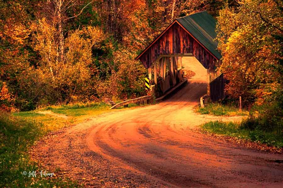
I noticed that “Harvey Hollow” looked interesting but then I saw that to the right, Brook Road led to GreenBank Hollow and a covered bridge symbol… Why not check it out? If you were just driving through here you might miss it as totally unremarkable. Click this Google map link to see the intersection.
I realize now that I never did take Harvey Hollow since I turned onto Brook Road. (note to self, go back...) The dirt road beckoned and while the color was very pretty along the brook I didn’t see a view that I was particularly in love with so I kept moving.
What Was Greenbank Hollow like in 1849-1885?
99% of the time we never “really” know what was around a spot like this unless it has been maintained. Unfortunately, many of the buildings of Greenbank’s Hollow burned in the 1885 fire. The remaining homes fell to ruin in the intervening years. Fortunately, the historical society has kept this village alive.
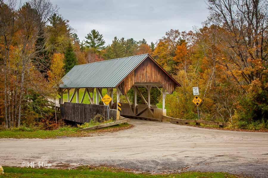
I arrived at a five-road intersection with the covered bridge as the centerpiece. I pulled off to the side and noticed that there were many informational plaques. (site 1, site 2, etc, see above) The Village of Greenbank Hollow was built here back around the 1840s and it thrived until a fire in December of 1885 destroyed much of it. This was a town that grew up around the woolen mill and around the other businesses that supported the employees who moved here to work in the mill.
You would find here a grist mill, a covered bridge, a general store, and a post office as well as the homes of the workers. The mill had 45 employees and while that doesn’t sound like much by today’s standards, it was the largest business in the area. (larger than Danville to the north).
Greenbanks Hollow Covered Bridge

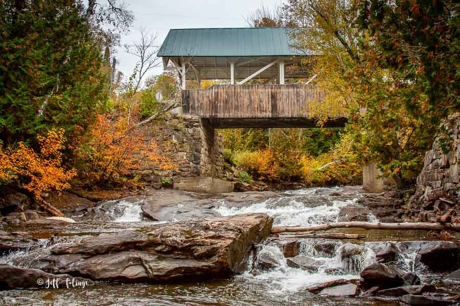
I was looking for a way to get a view of the bridge from down along Joe’s Brook. There is an old stone wall remaining from the mill but this is fenced off and fragile. But I found a trail down to the water where I could get some nice views of the covered bridge.
I took the trail along the brook and then climbed back up the hill (I did have to stop several times, phew!). This brought me out to an educational demo area and after reading the many signs, I went to the road and looking down found another nice view of the bridge from above.
Almost all covered bridges are located on roads that modern traffic by-passes today so you are forced onto the backroads to find these scenic by-ways that only the locals use. In days past these were the main routes of small towns everywhere but today they receive little attention.
If you want to see what it’s like to be standing on the covered bridge, click this link to view the Google Pano from the middle of the bridge.
The original Greenbanks Hollow Covered Bridge was burnt down in 1885 and later was rebuilt. In finding this covered bridge, what I enjoyed most was discovering the story about the Bridge and the “village” that was NOT forgotten.
Jeff Foliage Folger
Autumn is a state of mind more than a time of year – Jeff Foliage
- Visit my Fine Art America Gallery
- Visit my Amazon store to pick up New England-related materials
- Follow me on Bluesky
- My Facebook foliage page
- Threads.net/@Jeff_Foliage
- Follow our new Fall Foliage FB Group!
- You can visit Lisa’s Artist Facebook Page by clicking here


Comments
Greenbanks Hollow Vermont, Not Forgotten? — No Comments
HTML tags allowed in your comment: <a href="" title=""> <abbr title=""> <acronym title=""> <b> <blockquote cite=""> <cite> <code> <del datetime=""> <em> <i> <q cite=""> <s> <strike> <strong>