Downer’s Covered Bridge and A Twisty Vermont Route 17
I also NOW call Route 17… Vermont’s Second Twistiest Road
The 1st twistiest road is of course Smuggler’s Notch (Route 108). We took Route 17 for the first time only a while back, during a real slowdown in the fall colors. You may be saying, “What took you so long?”
Well, Vermont may be small and I’ve been traveling up there for more than 20 years, but there are thousands of roads! Sometimes even I get in a rut, and I stay on or near the routes that I know well. (Sorry, it happens to the best of us)
During this 2-day trip, Lisa was dealing with my bad mood (again) over finding very little fall color in Vermont on this crisp (hmmm, it was around 74 degrees I believe) autumn days in October (the 13th) This particular autumn was a tough one to find “consistent” fall colors. It wasn’t much better for me than any of you with the heatwave, the week prior.
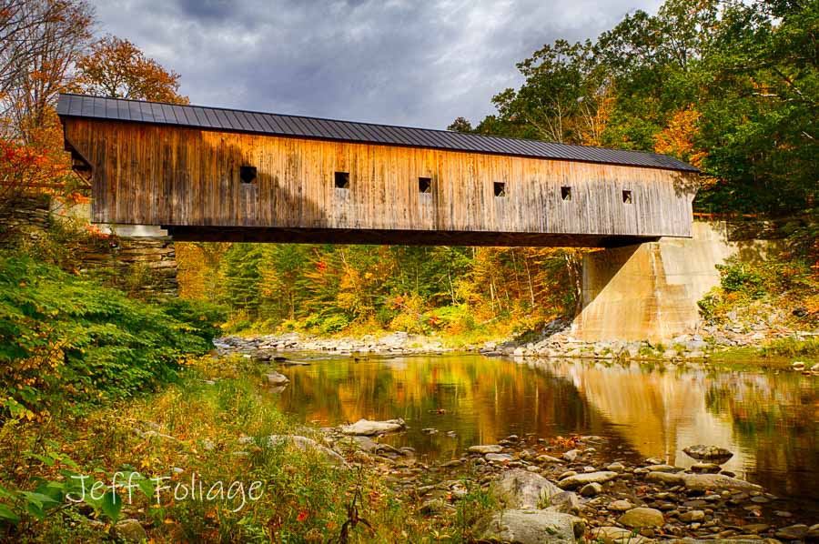
Downer’s Covered Bridge
We approached Vermont by cutting across Southern New Hampshire. We went through Clairmont in New Hampshire and cut across into Vermont. There was only a little fall color in relation to the date of 11 Oct 2017. The hot temps (upper 80s to low 90s) the week to ten days prior had really slowed the progress of the fall colors.
If you find yourself in Ludlow Vermont and want this covered bridge, take Route 103 going east out of Ludlow, then take Route 131 past Cavendish village, and it will be on your right.
During this trip, we must have cleared 6 or 7 new covered bridges. So do what I do, and if you are not finding the fall colors, then go find something else on the map! Plan B, folks!
But as you can see from the photo, even though there was some color, the colors weren’t the best. Lisa said: “We’re not finding the fall color south, let’s go north!” It’s not what I would normally consider a good idea, but the South hadn’t panned out so far this trip.
On the 11th of October, we got into Vermont and explored my old standbys, the Jenne Farm, and places south of Woodstock, looking for those vibrant fall colors that we should have seen there. It was overcast, like my mood, and we ended the day at a motel on Route 100. (not memorable even though it was on Route 100) The next morning had me hopeful since there was low-lying fog spread across the hills but little fall color.
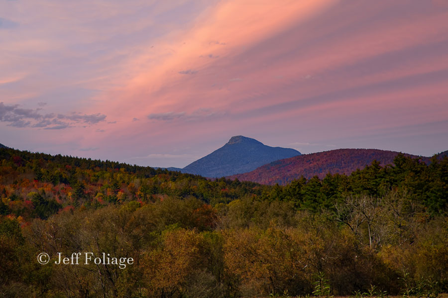
I spotted Camel’s Hump in the distance.
You might notice this photo is at sunset while all the other photos are during the day. In all honesty, we zigzagged up and down, and back and forth, through this area most of the day, and now as I write this article, I am trying to make it a cohesive route for you to follow giving you the highlights.
Crossing the spine of the Green Mountains
Looking for a way to get to Route 100, Lisa checked the Vermont Gazetteer again, where Lisa found that Route 17 went all the way from Route 7, over to Route 100. We could see in the distance that the hills might be very colorful, and since we had never been on it, we thought we would check it out. For those that care… Route 17 passes through Mad River Glen, Chamberlain Glen, an area called Buel’s Gore which has the Appalachian Gap, and intersects the Long Trail.
Mad River Glen
At the beginning of Route 17, was Mad River Glen. Home to ski chalets for the ski crowd. There are plenty of options to stop and spend a night or just to find an eatery.
Buel’s Gore (The rest of the story)
I’ve run into lots of unusual things in New England, like Dells (think, “the farmer in the Dell” now try to get that song out of your head today…) Well, a gore is: A gore (modern British English: nose), which refers to a triangular piece of land. Back in the late 1700s to early 1800s, as the last of the land was being settled, small pieces were left over. Buels Gore was a triangular piece in Chittenden County, Vermont.
This parcel of land is to the south side of Route 17 and Molly Stark Mountain, Baby Stark Mountain (if you don’t know Molly Stark, she was a local heroine from Revolutionary times) are on the northern edge of Buel’s Gore. This is where you will be hitting the twistiest portion of this route with really nice switchbacks. Unlike Smuggler’s Notch, there are no boulders to make you sweat going around blind turns. Here, they are wide open and even fun to take. (Although I think Smuggler’s Notch is fun also).
Appalachian Gap
Just below the gap, there is a pullout on both sides of the road and we pulled over. I walked down to the nameless pond that is just below the road. Be careful as I saw tracks for something large. I’m not a wilderness person so I won’t swear it wasn’t a bear track or maybe just a big dog… Let the wanderer beware.
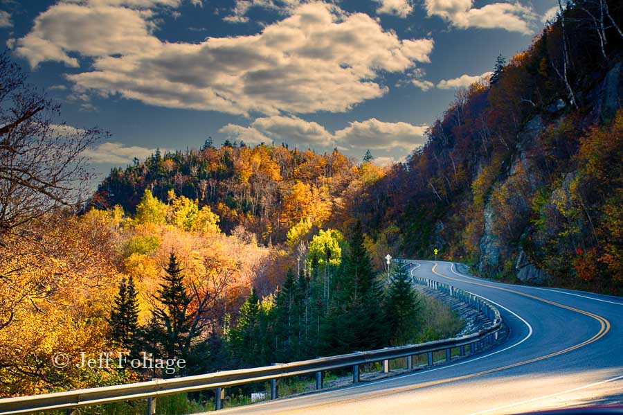
Yes the road less traveled, yields opportunities
When you get focused on one destination, be mindful of all those other roads that you might not normally take because they look like they might take longer to drive. They can lead in a whole direction that you weren’t planning on… Need I say, it can pay to take the road less traveled…? Like this barn that was along the road…
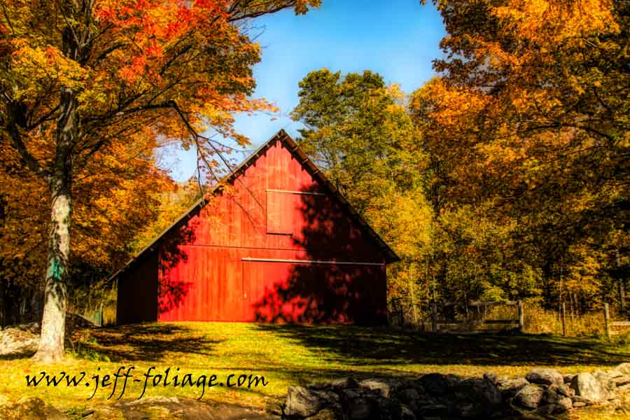
This red barn was on Robert Young Road … as it was on the road less taken…a side road off Route 17 just before we got to South Starksboro.
Marcus Welby MD?
If you immediately said Marcus Welby when I said Robert Young… you are old! If you don’t know the reference to which I speak, congratulations! you are young… or at least younger…
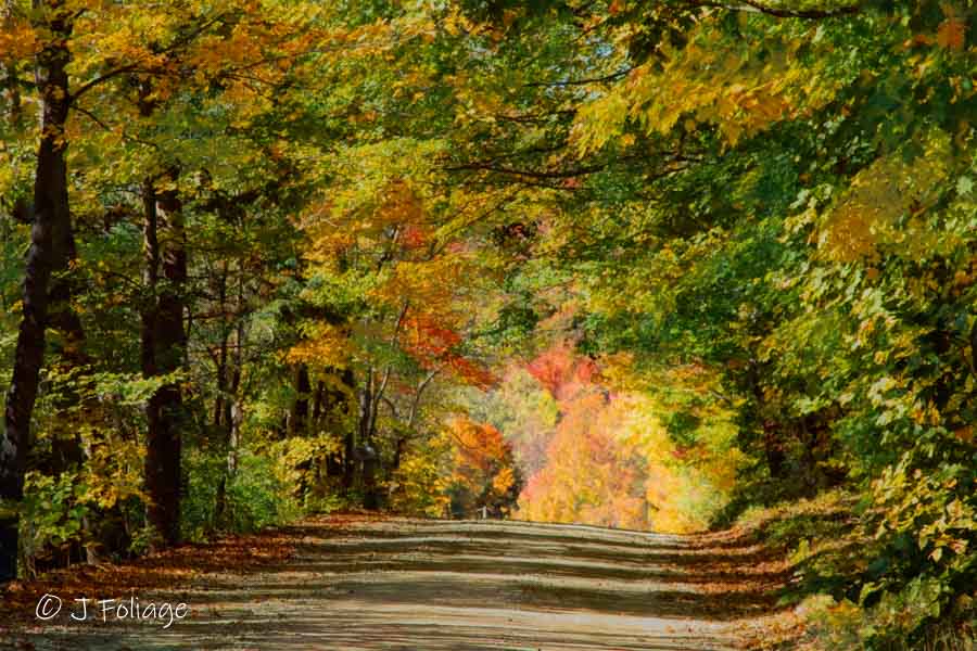
Along Robert Young Road there are no landscape views like the Jenne Farm or Sleepy Hollow, but I did see some nice scenes.
We came back out on Route 17 in South Starksboro.
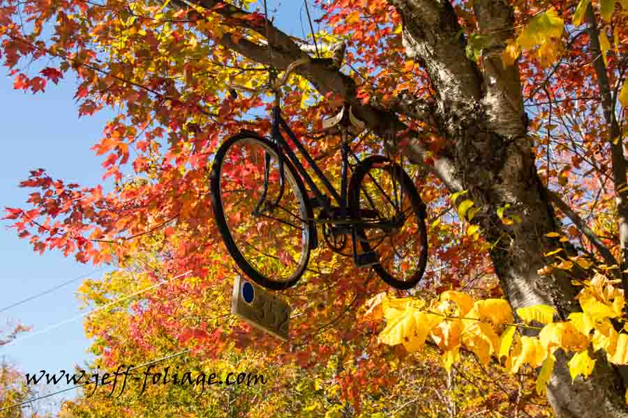
Along here I had to pull over as I spotted a bicycle up in a tree as a house marker. *Note”, I always brake for things like this.
We continued west and Route 17 merges with Route 116. Coming to Bristol and New Haven was a yawn so you can do the speed limit, but what the Gazetteer failed to show was the Bristol Falls and the Bartlett Falls (photo Ops). Sorry, no pictures. Really did miss them…This ends the route. We headed back to Massachusetts and our own bed, but you can find some scenic routes of your own from here. Maybe you’d like to head up Route 7 north and do parts of this route, or head south and find Hildene and explore Manchester Vermont.
Well, another weekend was spent looking for the fall colors and lots of new memories. I hope you enjoyed this trip along Route 17 and the Second Twistiest Road in Vermont. Read this article about Smuggler’s Notch. Smuggler’s Notch (Route 108) EATS six to ten 18-wheelers and spits them out every year.
Jeff Foliage Folger
Autumn is a state of mind more than a time of year – Jeff Foliage
- Visit my Fine Art America Gallery
- Visit my Amazon store to pick up New England-related materials
- Follow me on Bluesky
- My Facebook foliage page
- Threads.net/@Jeff_Foliage
- Follow our new Fall Foliage FB Group!
- You can visit Lisa’s Artist Facebook Page by clicking here

Jeff & Lisa, we are grateful to you for your tireless explorations. Thanks to you we had a trip of a lifetime fall of 2022. Everywhere we went was on fire! A note about mad River Glen: My sweetie is a ski fanatic, And he had to drive by there… We are from Colorado and I couldn’t figure out why he wanted to see this particular ski hill. 1) mad River Glen is a co-op owned by the skiers… The only one in the country. It is also the only resort in the country that has opted to keep a One person chair left. No snowboarders are allowed on the mountain. “Ski it if you can” is their motto. We hiked part of the mountain on a beautiful fall day, And at the top of the pass the Appalachian trail came through, And there were people there with supplies for their hiking buddies. Everything I saw on that hillside gave me a good feeling, a feeling of locals, a feeling of people helping people, a feeling of keeping life simple. Fabulous day.
I wish I could say it was always like that but it is like that a lot… 🙂 I love my trips through New England and I always come away amazed by all the wonderful people I meet…